

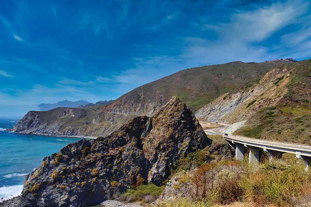
Powerful surf chewed away the Pacific Coast Highway, forcing emergency armored repairs to keep California’s coastal lifeline open.
Story Highlights
- Crews placed heavy rock along Highway 1 near Malibu after a washout threatened the road.
- Officials acted before expected El Niño storms to slow erosion and protect drivers.
- Orange County closed one southbound lane at Crystal Cove to inspect a hillside crack.
- Some washouts elsewhere still sat behind cones, drawing safety concerns.
Emergency Armor Work Underway at Thornhill Broome
California transportation crews began emergency shoreline work at Thornhill Broome Beach after waves carved out part of Highway 1 north of Sycamore Canyon Road. Workers started installing rock slope protection, which stacks large boulders between the surf and pavement to blunt wave energy and stop rapid undercutting. Officials said the goal was to defend the highway now and brace for heavier winter storms tied to El Niño. The agency described this as urgent work to preserve access on a key route.
Transportation officials said the damage was real and measurable, not cosmetic. Waves collapsed the ground below the roadway, leaving pavement hanging over a long void. Local reporting placed the unsupported span at more than 40 feet and noted a water line was taken out during the surge. The department estimated about 50 linear feet of damage at the site. Those details help explain why crews moved fast to place rock and shore up the edge before another round of high surf.
Extra Measures: Mesh, Drainage, and Rockfall Control
A spokesperson said the stabilization plan adds layers beyond boulders on the beach. Crews repaired and replaced drainage and culverts, making some larger and longer to move water away from the bluff. They set ocean-side mesh with rock over it to hold the shoreline together. Teams also worked inland to address burn-scar rockfall hazards that can drop debris onto the highway during storms. These steps aim to limit both wave damage and slope failures during winter weather.
While that work moved ahead in Malibu, officials also acted on a separate risk in Orange County. Caltrans closed a southbound lane between Reef Point Drive and Irvine Cove Drive after a crack appeared in the hillside below the road. The move kept drivers and workers away from a slope officials were still assessing. The department asked the public to follow detours and slow down near crews. No reopening date was announced while teams reviewed surveys and drone footage.
Closures, Beach Evacuations, and Geotechnical Review
Park officials joined the response where the bluff and beach posed risks to people on foot. California State Parks staff evacuated visitors from 26 beach cottages and closed the shoreline below the unstable area as a safety step. The supervising official said the erosion level called for a geotechnical review to guide next actions. That approach coordinates traffic protection on the highway with safeguards on public lands beneath the bluffs that continue to erode under heavy surf.
Some storm damage along the route has not been fully repaired yet. Reporting described two eastbound washouts that remained open issues, with cones serving as the main warning in some spots. One location had a drop of about 30 feet near the bike lane, which highlights the risk when erosion races ahead of permanent fixes. Those scenes can make emergency measures look thin, even when crews are staging more work.
Short-Term Fixes Versus Long-Term Choices on Highway 1
California has faced this pattern before on coastal Highway 1. Agencies keep roads open with walls, rock, and quick rebuilds to buy time, then consider moving the alignment when a site proves too exposed. At Devil’s Slide, officials built tunnels and a bridge after years of slides and closures. At Piedras Blancas, engineers shifted miles of roadway inland to plan for a century of erosion pressure. Officials have followed similar steps at Gleason Beach.
This round of work on the Pacific Coast Highway matches that playbook. Crews are armoring weak edges, fixing drainage, and holding the line before bigger winter waves arrive. Officials have not published a final design or schedule for the Orange County slope, and some segments still rely on cones pending repairs. That is common in emergency phases. The measure of success will be whether the rock and drainage keep lanes open through storms while longer plans take shape.
Sources:
nypost.com, dnyuz.com, hoodline.com, abc7.com, malibu.fm, ground.news